


Home/Shop/Wall Art/Wall Hangings
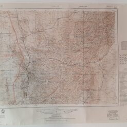
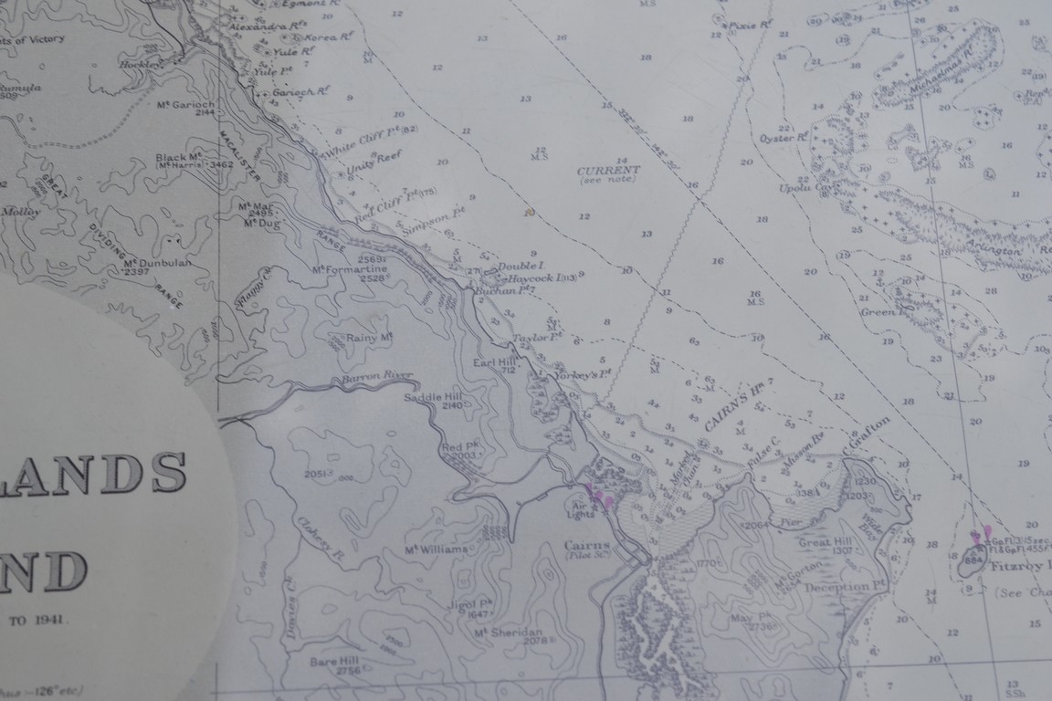
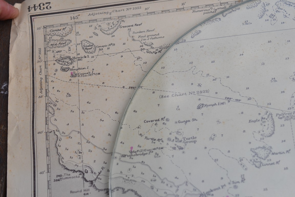
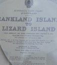
Vintage map Frankland Islands to Lizard Islands Original 1960
$65.00
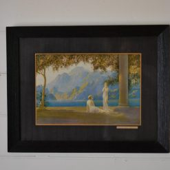
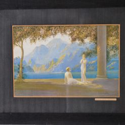
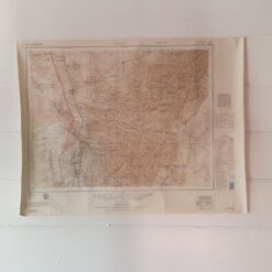
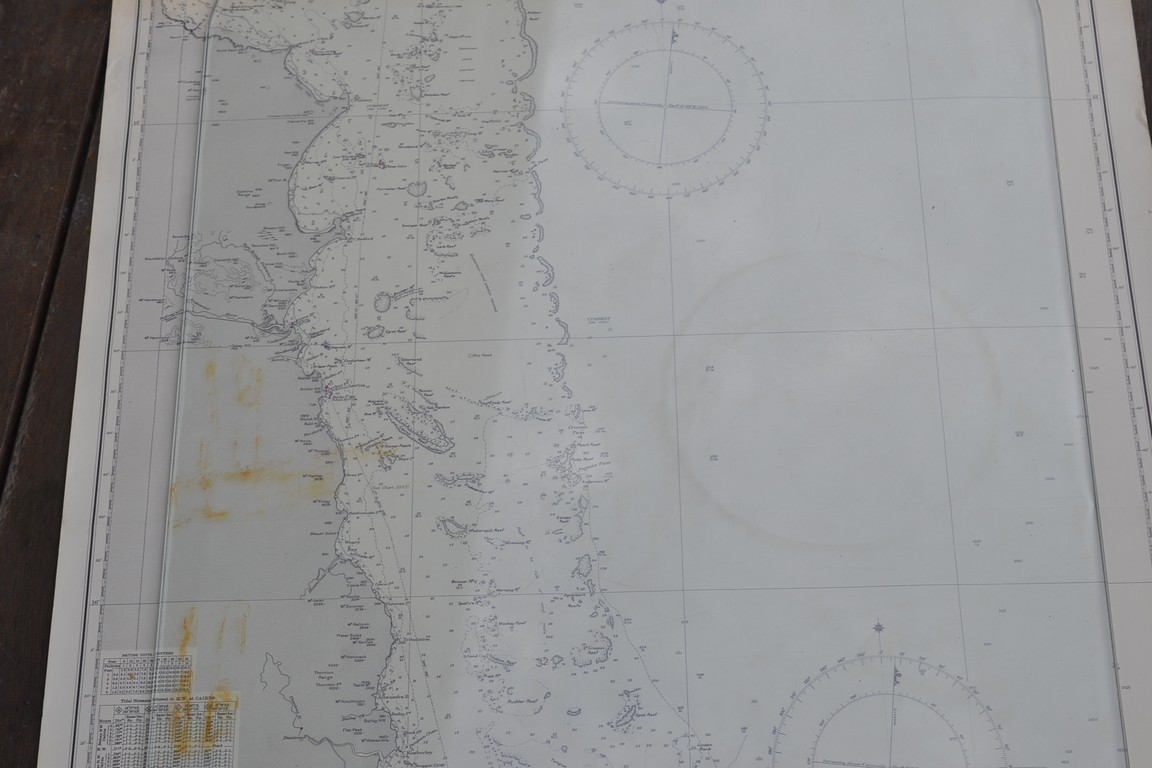
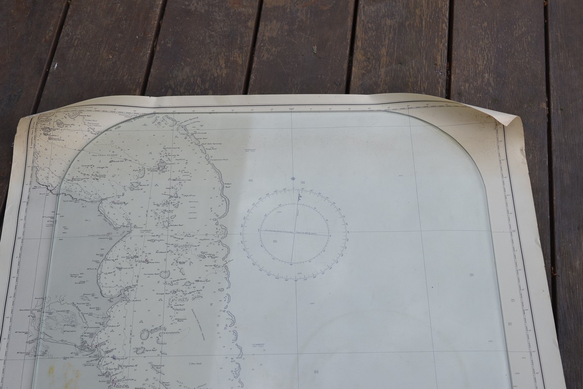
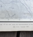
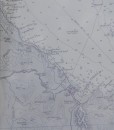
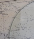
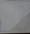
This is an original Map of the East Coast of QLD of Frankland Island to Lizard Island. It is from Admiralty and Royal Navy Surveys to 1941. . Topography from Australian Government maps. It was published in London at the Admiralty 5th of Feb 1960 under the Superintendence of Rear Admiral K.S.B Collins. Hydrographer It is in great condition It has some creases and age marks. Some of the brown rusty marks are actually on the glass used to hold down the map, it is not on the actual map. This would be a fabulous piece framed. Please refer to the photographs.
Dimensions: 70 cm H x 103 cm w
No 186
1 in stock

Additional information
| Weight | 1 kg |
|---|---|
| Dimensions | 60 × 20 × 20 cm |