


Home/Shop/Wall Art/Wall Hangings
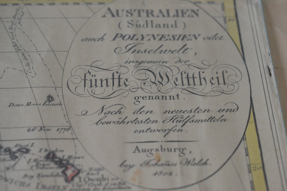
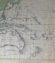
Vintage map Australia Australien Sudland 1802 Johanes Walch
$60.00
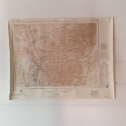
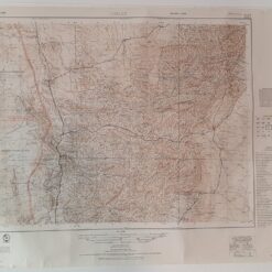
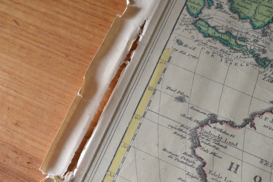
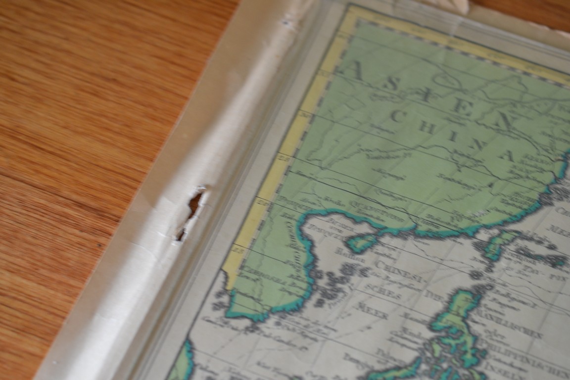
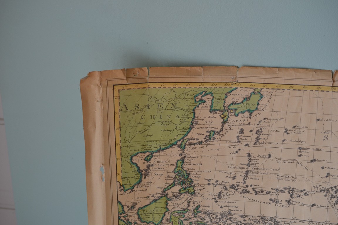
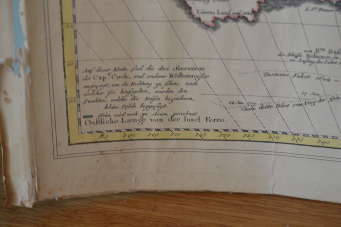
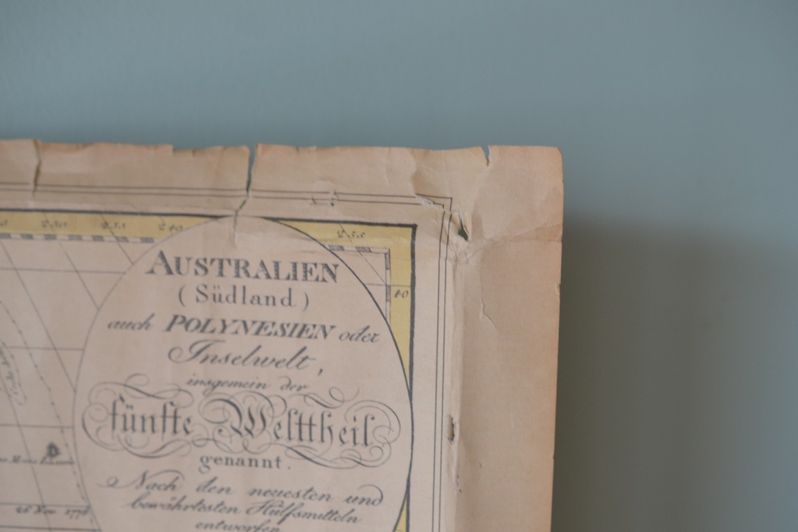
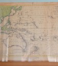
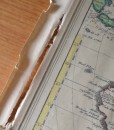
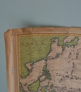
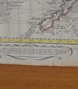
This map is Courtesy of the Library council of Victoria. I am unsure of the date it was printed. This map of Australia, or New Holland as it was then called, was published in 1802 by Jonaes Walch and shows the whole of Australia and Bass Strait. The South East coast is not shown, as at that time, even through the area had already been charted by Flinders and Bass, their charts were not published until 1814. The routes taken by all the main Pacific navigators , including Cook are also shown. This map is printed on paper, and shows age marks, yellowing and tears around the edges. This would be a fabulous piece framed. Please refer to the photographs.
Dimensions: 56 cm w x 43 cm H
1 in stock


Additional information
| Weight | 1 kg |
|---|---|
| Dimensions | 60 × 20 × 20 cm |