


Home/Shop/Wall Art/Wall Hangings
Vintage map Fiji Islands Kanavu Passage to Kuata Island Original 1967
$40.00
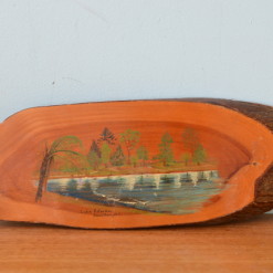
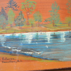
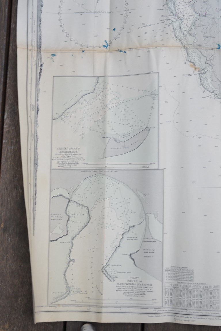
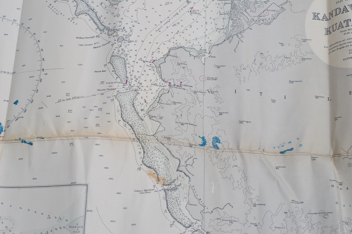
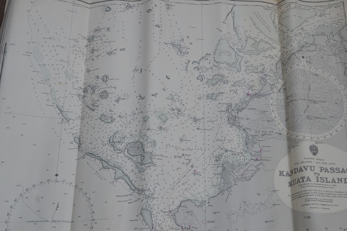
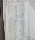
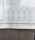
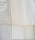
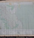
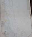
This is an original Map of Fiji, Kanavu Passage to Kuata Island Original 1967. It was surveyed by J.B Murray and H.M.S Pegasus 1906. It was published in London the Admiralty 13 th of Jan 1879, under the Superintendence of Captain F.J. Evans Hydrographer It is in great condition It has creases and aging. This would be a fabulous piece framed. Please refer to the photographs.
Dimensions: 102 cm H x 87 cm w
no 192
1 in stock
Additional information
| Weight | 1 kg |
|---|---|
| Dimensions | 60 × 20 × 20 cm |