


Home/Shop/Wall Art/Wall Hangings
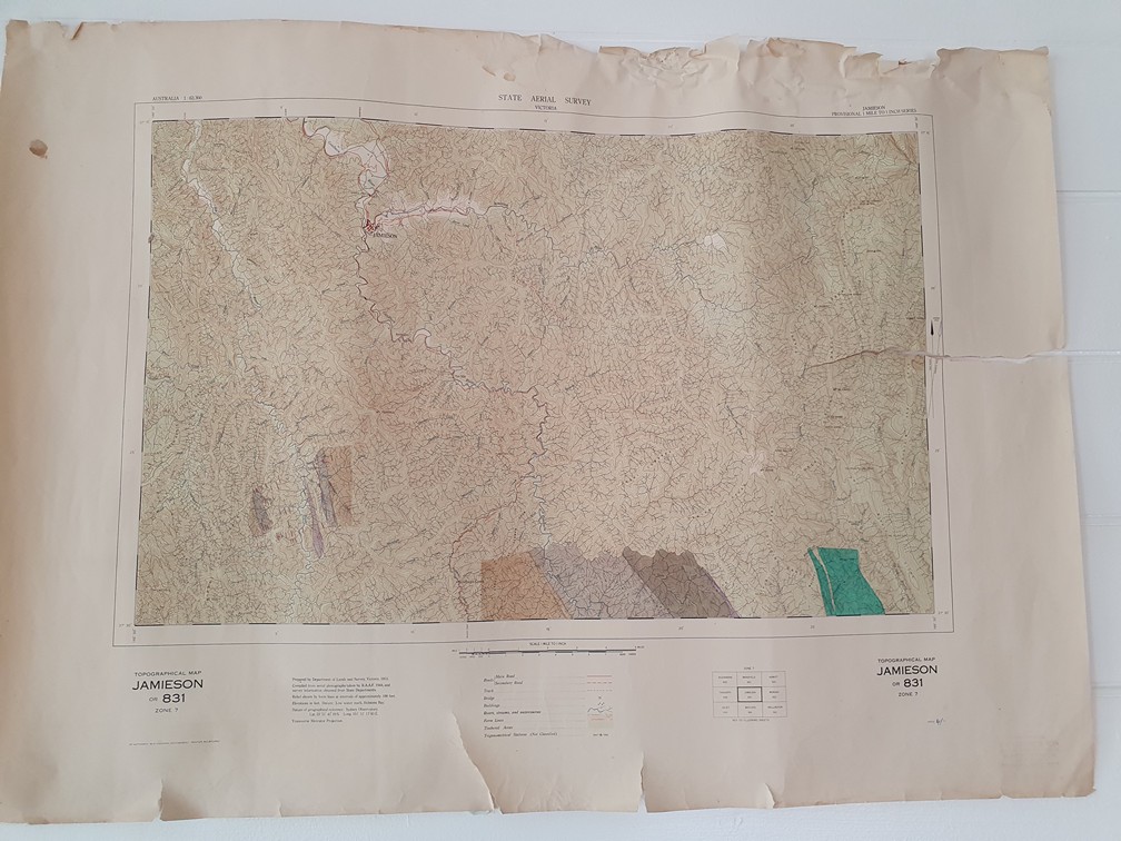
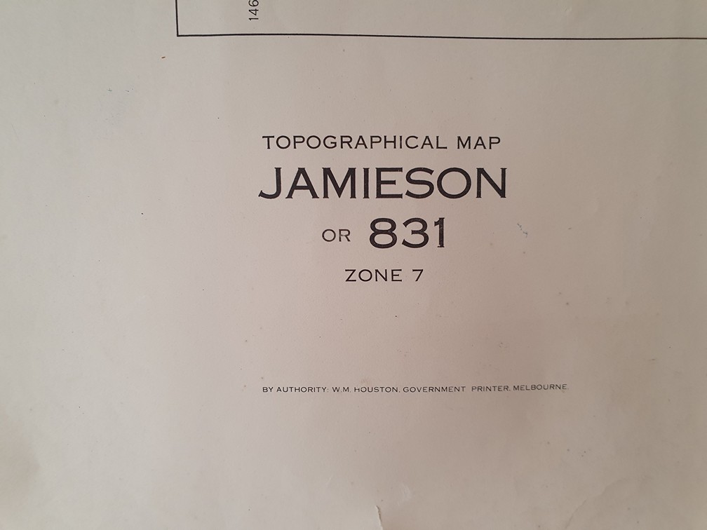
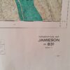
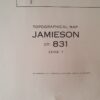
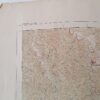
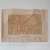
Original Vintage map 1953 Jamieson topographic State Aerial Survey MBT1
$85.00
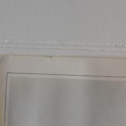
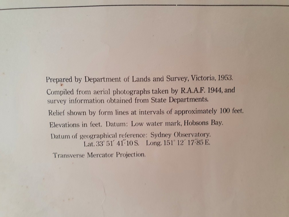
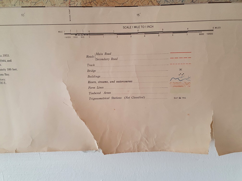
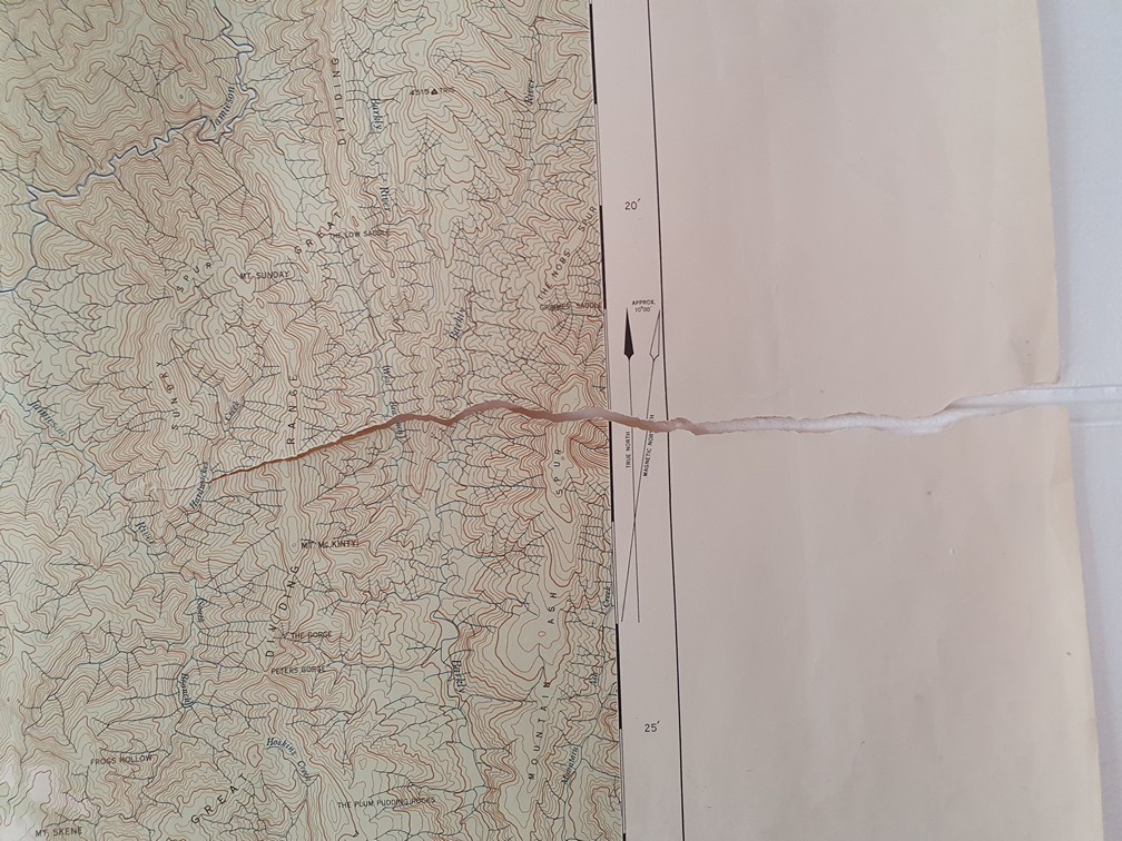
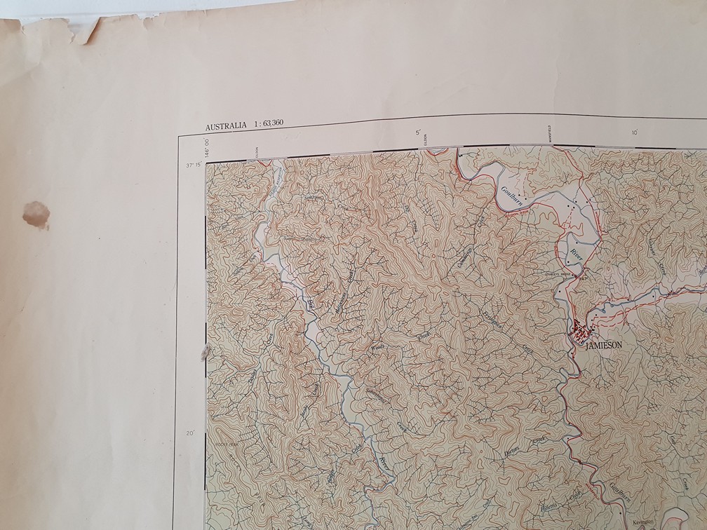
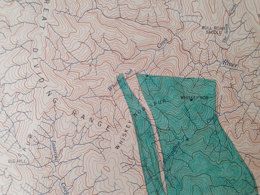
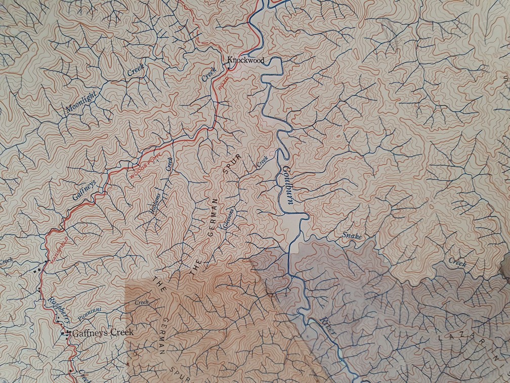
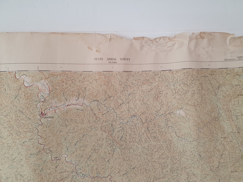
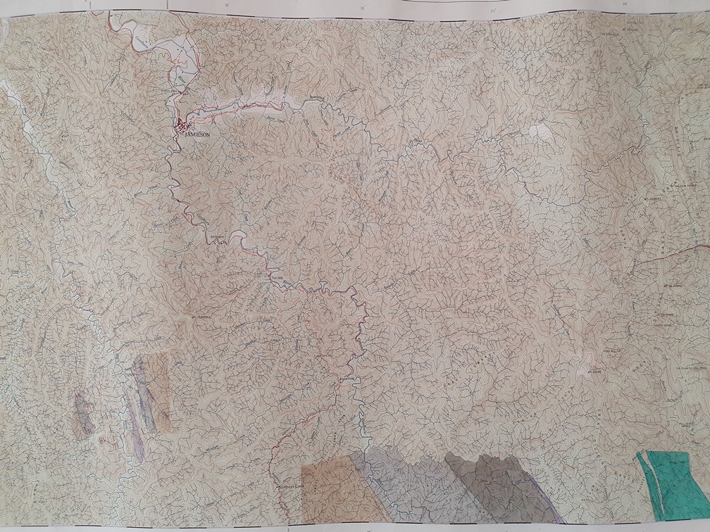
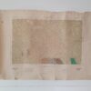
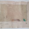
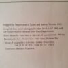
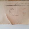
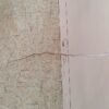
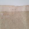
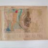
This is an Original vintage map , 1st edition of Jamieson, 1953. This map was compiled by the R.A.A.F 1944 and prepared by the Land survey of Victoria. This map is refered to : No 831, Zone Z, Topgraphical Map, Jaieson. It is in good vintage condition, but does show wear and tear. There are tears and creases on the top and bottom of the map a tear on the right hand side into the map. Please refer the photographs.
1953 1:163 360 Geological Sheet
Dimensions: 94 cm w x 68 cm h
1 in stock
Additional information
| Weight | 1 kg |
|---|---|
| Dimensions | 60 × 20 × 20 cm |