


Home/Shop/Wall Art/Wall Hangings
Original Antique map Victoria Wimmera region june 1904 by Stanley Hunter Mines Victoria
$450.00
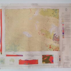
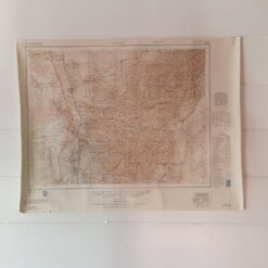
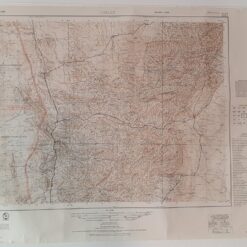
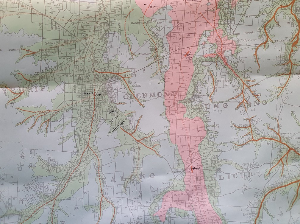
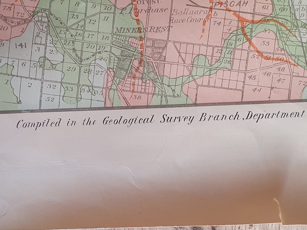
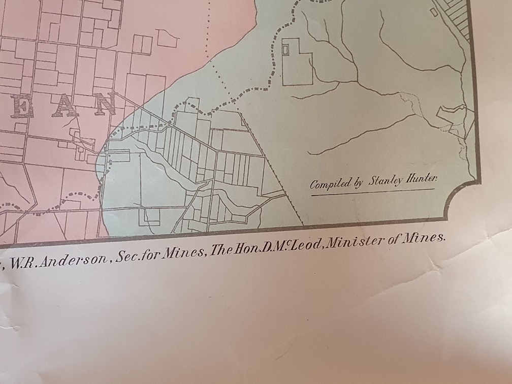
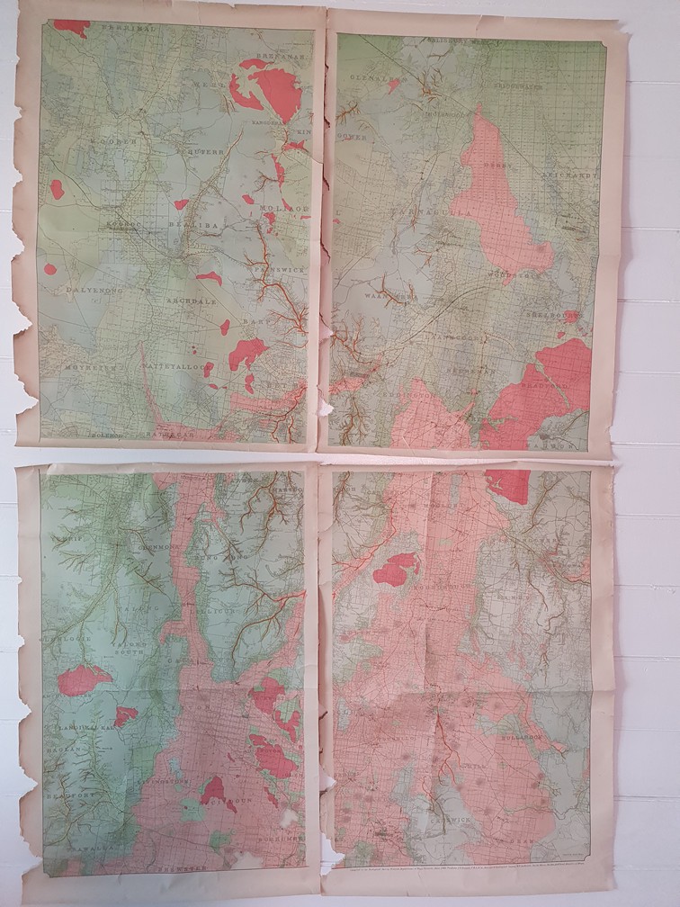
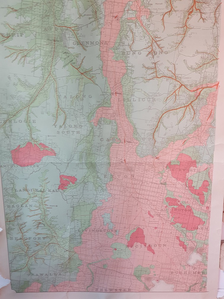
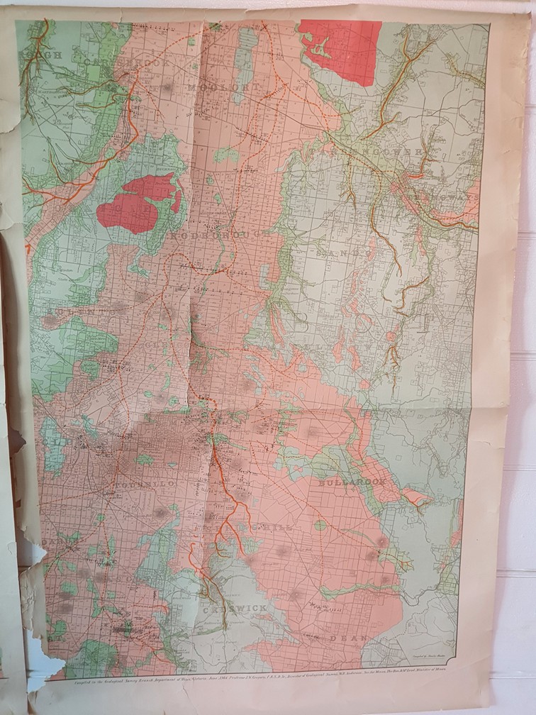
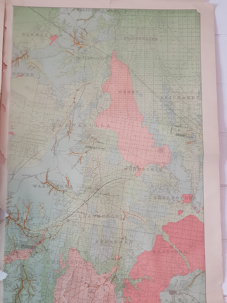
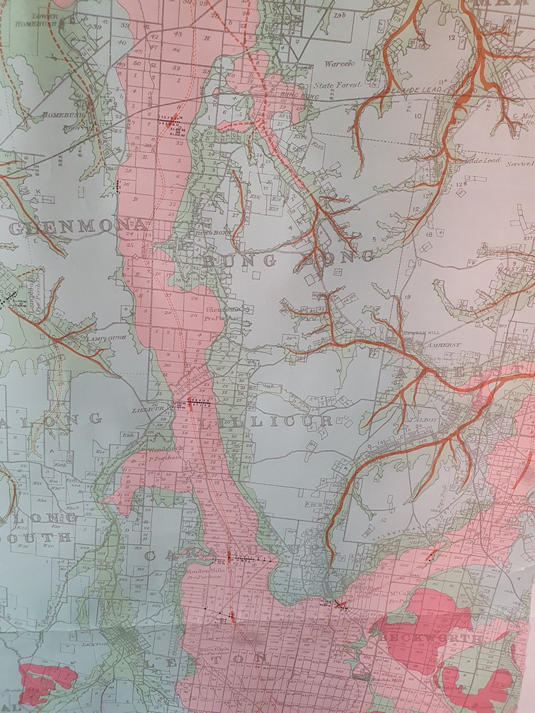
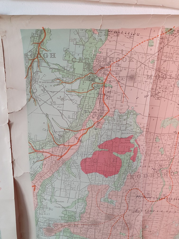
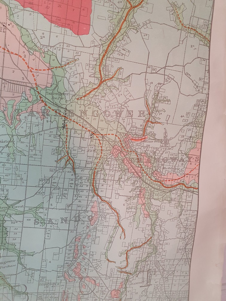
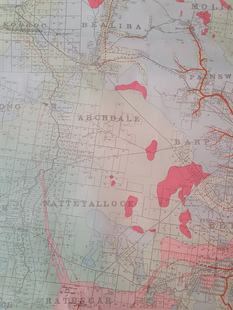
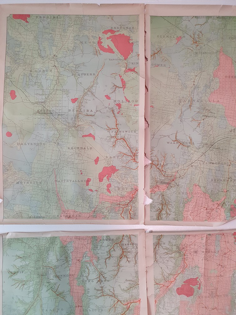
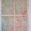
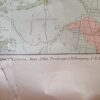
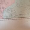
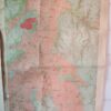
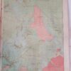
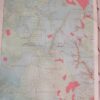
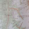
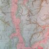
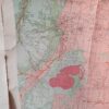
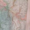
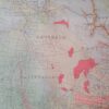
The only time you will see this type of map is in the Museum of Victoria. It is very rare, and you can own this amazing piece. This map which is in four sections was compiled by Stanley Hunter, and put together by the Geological Survey Branch Department of Mines VIctoria, June 1904, Professor J.W Gregory and W.R Anderson.
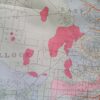
The map is of the Wimmera region of Victoria. This includes some of the towns: Bridgewater, Inglewood, Derby, Woodstock, Ercildoun, Burrumbeet, Beaufort, Livingston, Addington, Yalong South, Moolort, Rodburough,Sando,Bullarook, Spring Hill, Carisbrook,Natteyallock, Rathscar, Dalyenong, Archdale, Barp, Painswick, Bealiba, Kooroc, Kooreh, Kangderaar, just to name a few.
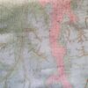
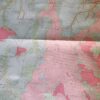
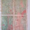
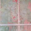
This map has bright vibrant pinks and greens. The paper is quite thick, but however does tear very easily due to its age. It has had sticky tape on the back placed, to prevent any more tearing. As you can see, some of the sheets have damaged and tears on the side, but with each piece framed, it would look magnificant!
Each sheet is 64 cm w x 92 cm H
All sheets put together is approx 125 cm W x 185 cm H
1 in stock


Additional information
| Weight | 2 kg |
|---|---|
| Dimensions | 60 × 20 × 20 cm |